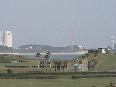
Tarumizu. Sakurajima Volcano
We are flying to the south of Japan. Here, in Kagoshima Bay, tourists are struck by the sight of the active stratovolcano, Sakurajima. It’s interesting that before 1914, the volcano had been a separate island, but after another eruption, the island’s territory was connected by lava flows with the Osumi Peninsula.
The volcano occupies a vast territory of 77 square kilometers. Its height is 1,117 meters. In cloudy weather, the peaks of the volcano are barely visible in this image, but on a clear day, you can see all three peaks of Sakurajima, the northern peak of Kitadake, the central Nakadake, and southern Minamidake.
Almost always, a cloud of smoke is above the volcano. Small settlements are built at the foot of the volcano despite the eruptions still recorded here.
We are looking at a tourist attraction, Kyushu, from the city of Tarumizu. Its center is located to the south of the volcano, but the camera is located in the northern suburb of Fukaminato, which is to the east of the volcano.