La Gomera. Garajonay National Park
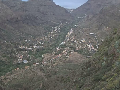
We are leaving for the center of the island of La Gomera. The camera is installed in the territory of the Garajonay National Park. In 1986, the park was listed as a UNESCO World Heritage Site. In an area of 40 square kilometers, there are moist subtropical forests, known as laurisilva, which occupied Europe in the Tertiary period.
The park was named after the highest point of the island, the cliffs of Garajonay (1,484 meters above sea level). Hiking trails are laid along the hilly territory of the national park. Nevertheless, a huge part of the park is an impassable jungle, where only the most adventurous guests of the island dare to go. Besides, local people like to frighten visitors with stories about the spirits that supposedly live here. In total, about 2,000 species of various plants can be found in the park.
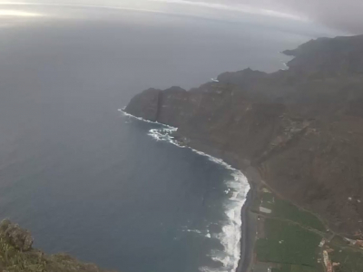
In clear weather, the island of Tenerife and its volcano, Teide, are clearly visible next to La Gomera, in the background of the image. The top of the volcano is the highest point of the whole territory of Spain, it rises 3,718 meters above sea level. The last eruption of Teide occurred in 1909. Tourists can buy souvenirs made from the cooled lava of this volcano, on the island of Tenerife.