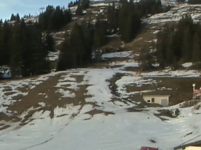
Bregenz District. Furkajoch Mountain Pass
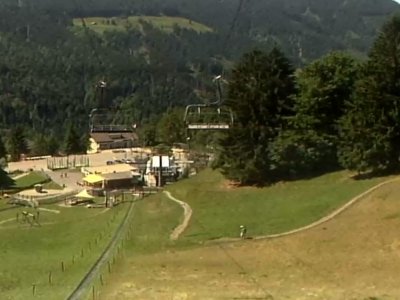
We can see the mountains in the western part of Austria and Furkajoch Mountain Pass. It connects the Bregenzer Ach valley with the Frutz valley. The camera is at a height of 1630 meters above sea level and shows travelers the weather in Vorarlberg land.
In addition to the usual mountain trails, Furkajoch has highway L51. It connects the cities of Rankweil and Damüls, and its length is almost thirty kilometers. Very often, you can meet motorcyclists there. In winter, the road is closed to traffic and is only used by tourists, traveling through the mountains.
There are popular routes to Hochtannberg Pass, Hahntennjoch, Timmelsjoch, Arlberg Pass, as well as the mountain road, Silvretta. Furkajoch is surrounded by a set of peaks, the highest of which is Löffelspitze peak with a height of 1962 meters, Glatthorn (2134 meters) and Hoher Freschen (2006 meters).