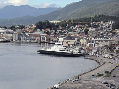
Bud. Hustadvika District Panorama
Hustadvika is a 19-kilometer stretch off the coast of the Norwegian Sea, between Kristiansund and Molde, and is characterized by shallow depths and a large number of islands and reefs. The area is known as one of the worst places for maritime navigation, as a lot of ships have sunk in Hustadwick. The rotary camera is installed in the most southern point of the district, the village of Bud.
In the Middle Ages, the fishing village of Bud, due to its unique location, was one of the largest fisheries in the region. The small village is famous for the fact that the last Norwegian independent Privy Council was held here.
We are looking at the rocky islands from the fort museum, Ergan. Ergan was built during the Second World War by German troops as part of the Atlantic Wall, a system of fortifications more than 5,000 kilometers long. The fort was decommissioned after the war, weapons and ammunition were thrown into the sea, and all equipment was taken from Bud to other cities.
The reconstruction began in the late 1980s. In 1995, the Fort Museum was opened to visitors.